Buy Postcode Sector Wall Maps
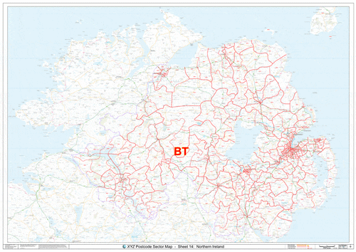
We have over 150 Postcode Sector Maps cover the United Kingdom at a local level which show the boundaries and codes for the first half of the Postcode plus the next number. For example boundaries and labels for 'NW1 2' or 'B2 1' Postcode Sectors.
Choose from our local Postcode Sector maps by using the search box above or the filter to the left.
Alternatively, you can:
- Select a map from our UK overview
- Select a Postcode map to cover individual Postcode Areas
- Select a Postcode maps for specific London Boroughs; or
- Create your own Postcode Sector map using our online Maps Maker system.
If you have a specific requirement or you are not sure how to get started, just let us know and we’ll be happy to help.