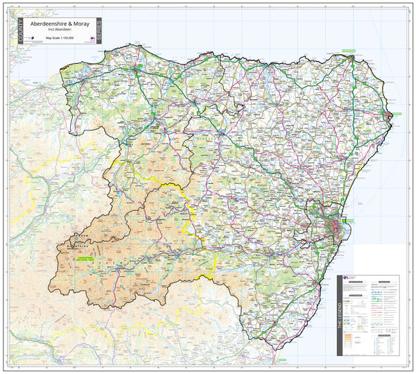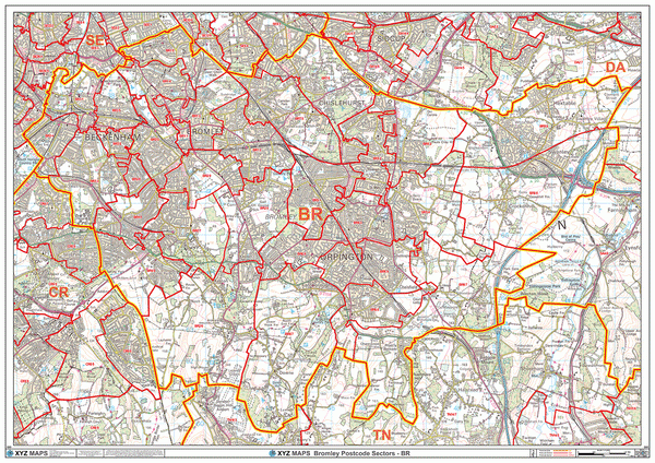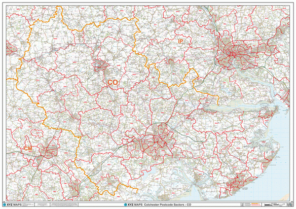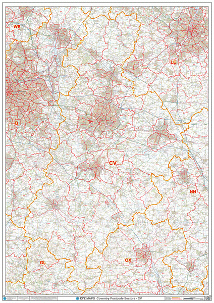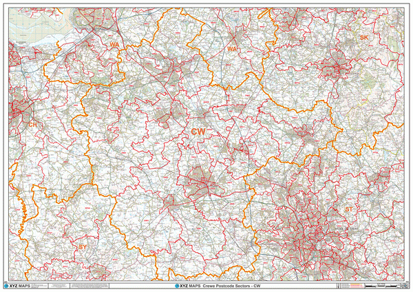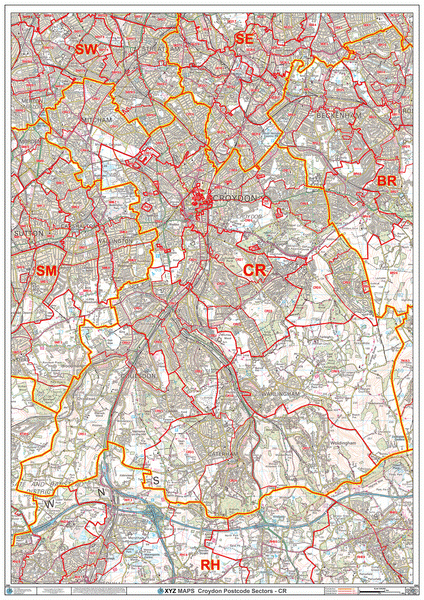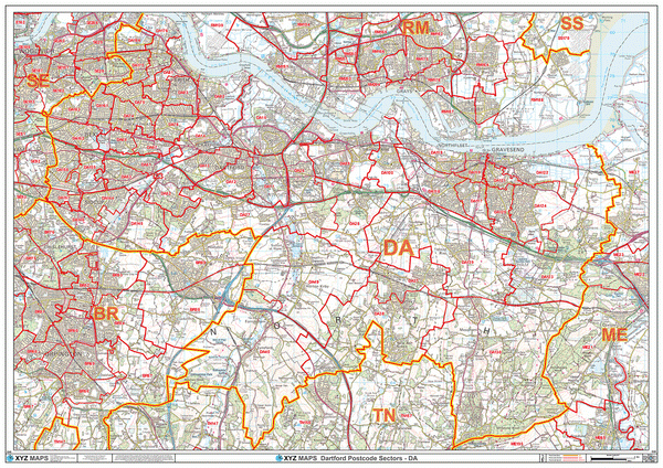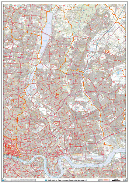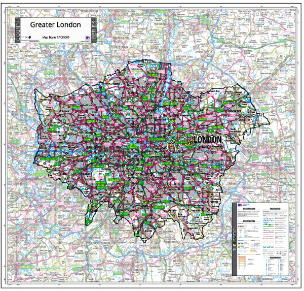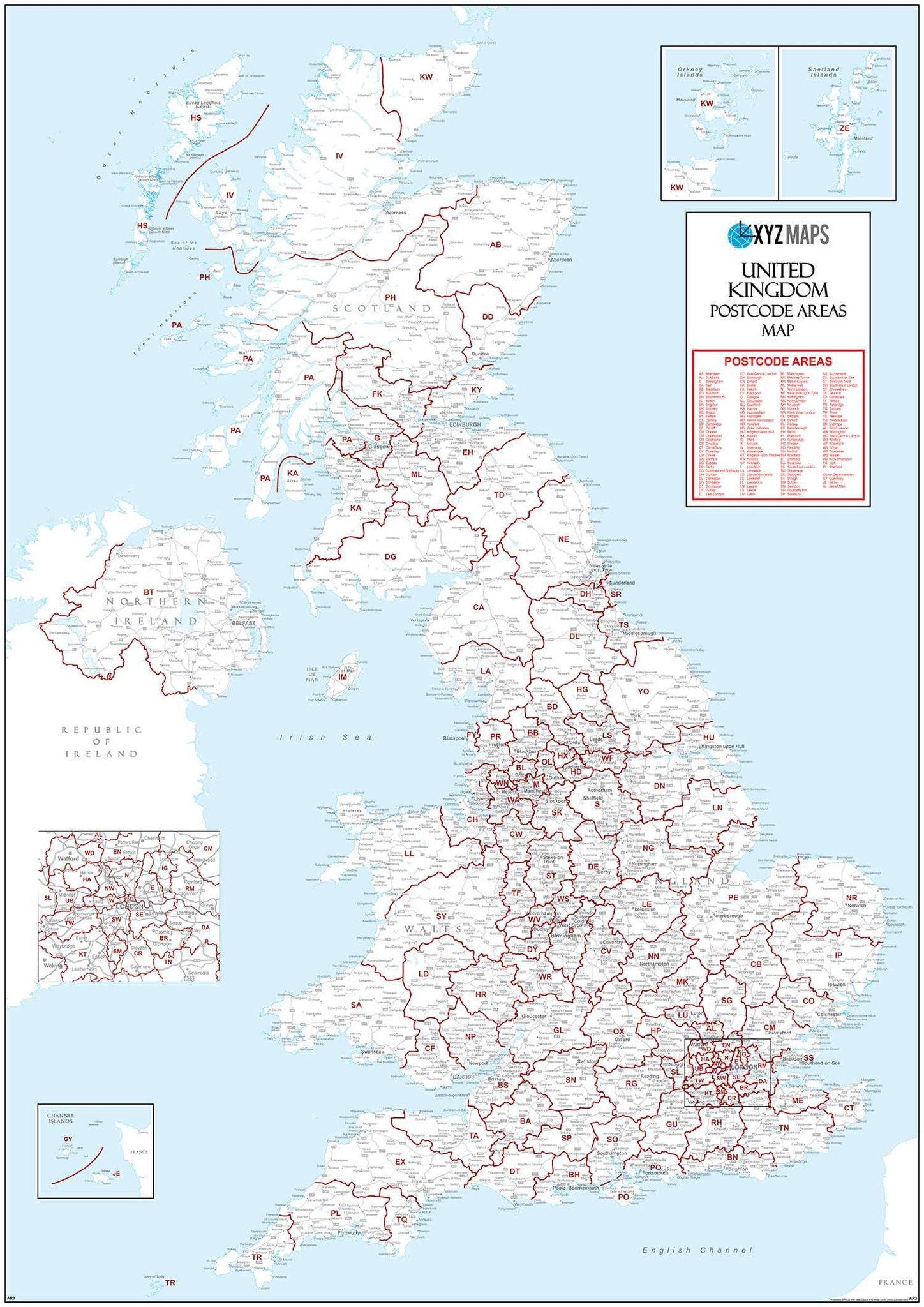
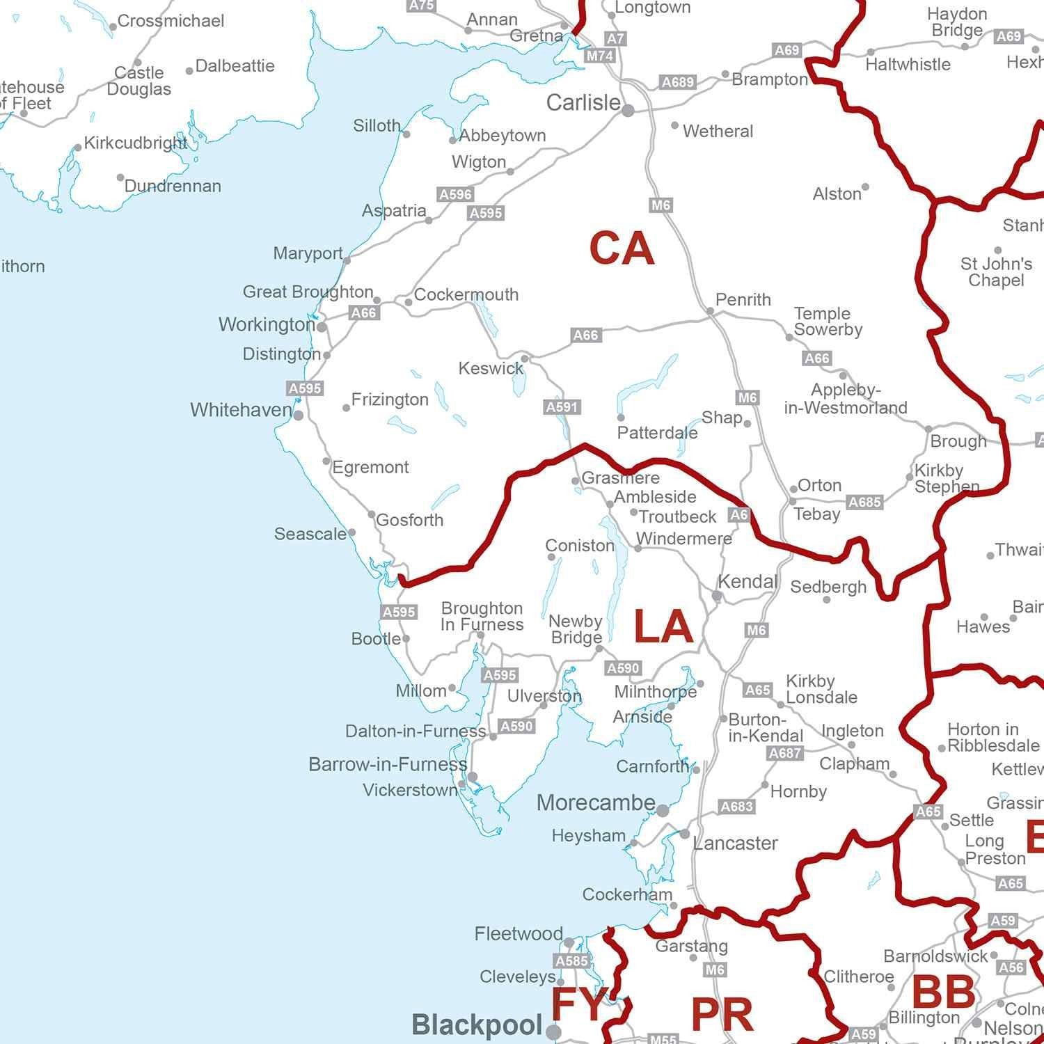
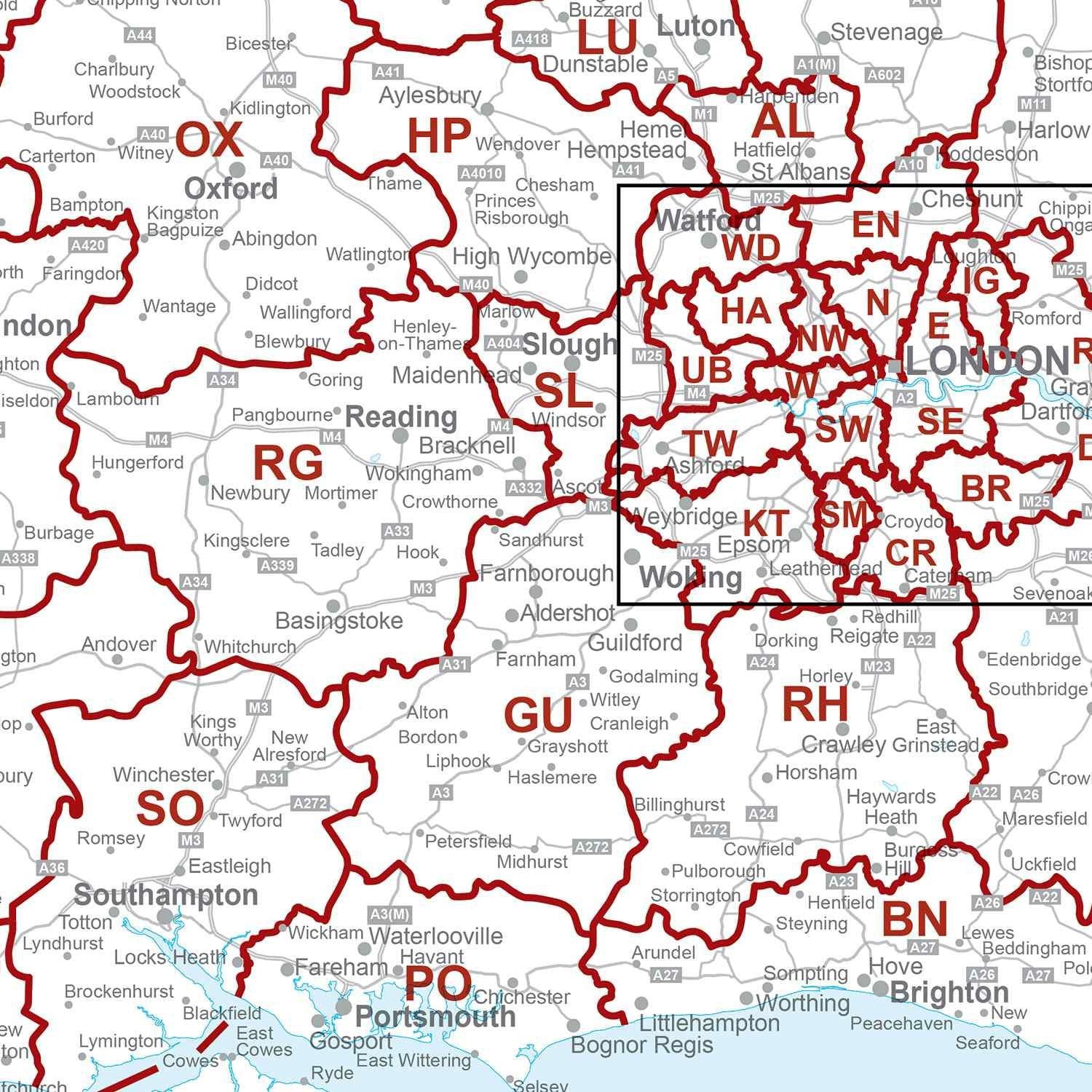
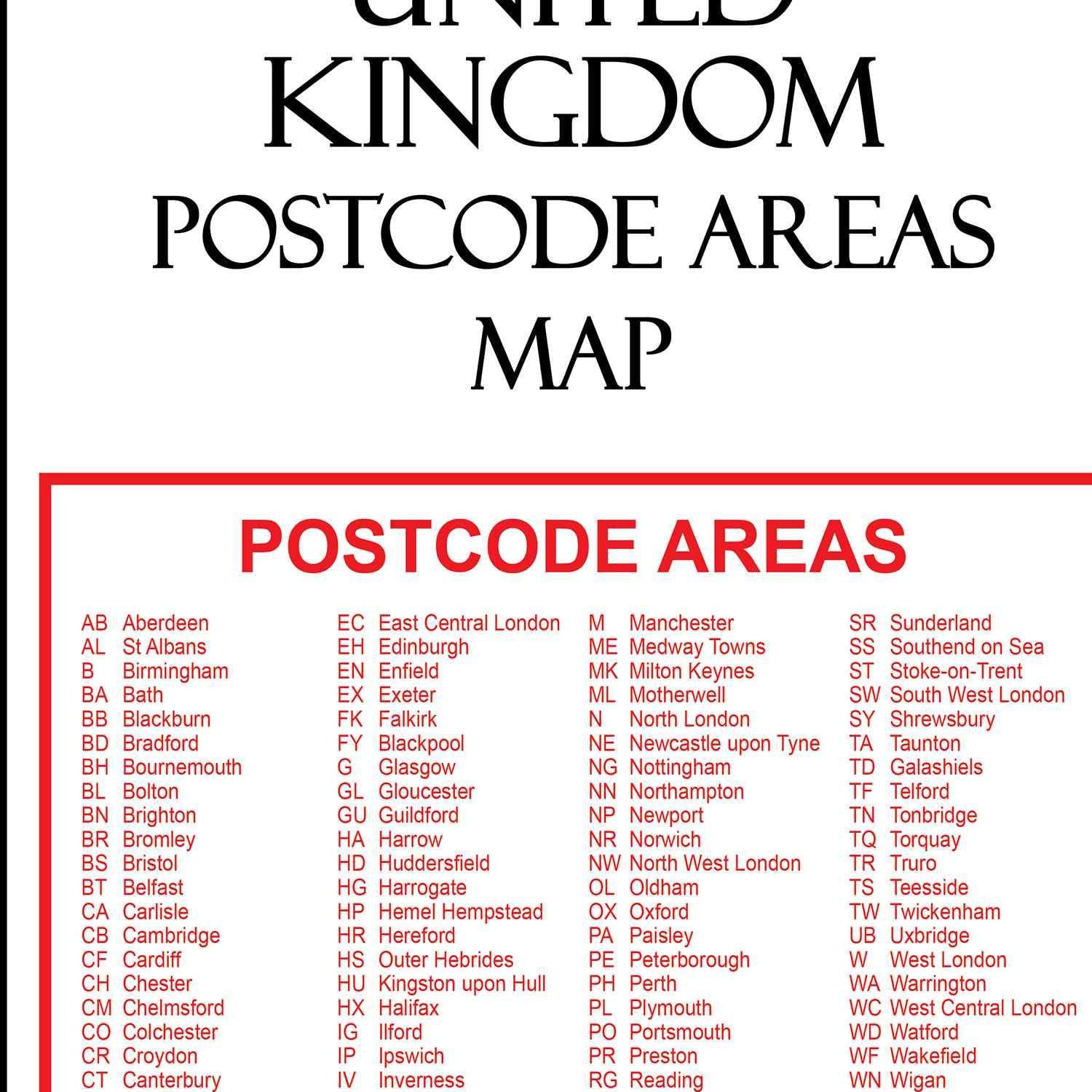
Excellent map - good size so the postcode areas are easy to view - plus an exploded diagram for the postcodes in London. Just what I needed - and good support and communication from the Map Logic.
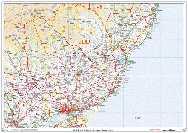
It does what it is supposed to and well worth the money
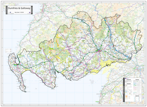
This map is exactly as described quick delivery would recommend!
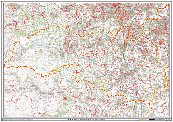
Brilliant large map, fast service exactly what was required will make life a lot easier from now on Cheers
Ordered map, to my house as I thought it would take 5 days to arrive... super efficient Map Logic delivered it the next day!!... now, i wasn't at home missed the delivery, and I was gutted, up stepped Richard (MD of Map Logic) and not only did he speak to the logistics company, but he spoke to me throughout the process, and made sure that the map arrived at my office address the next day!! take my hat of to this company superb customer service