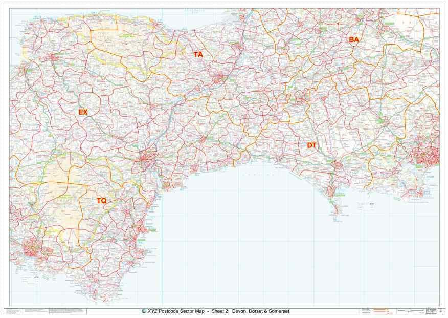
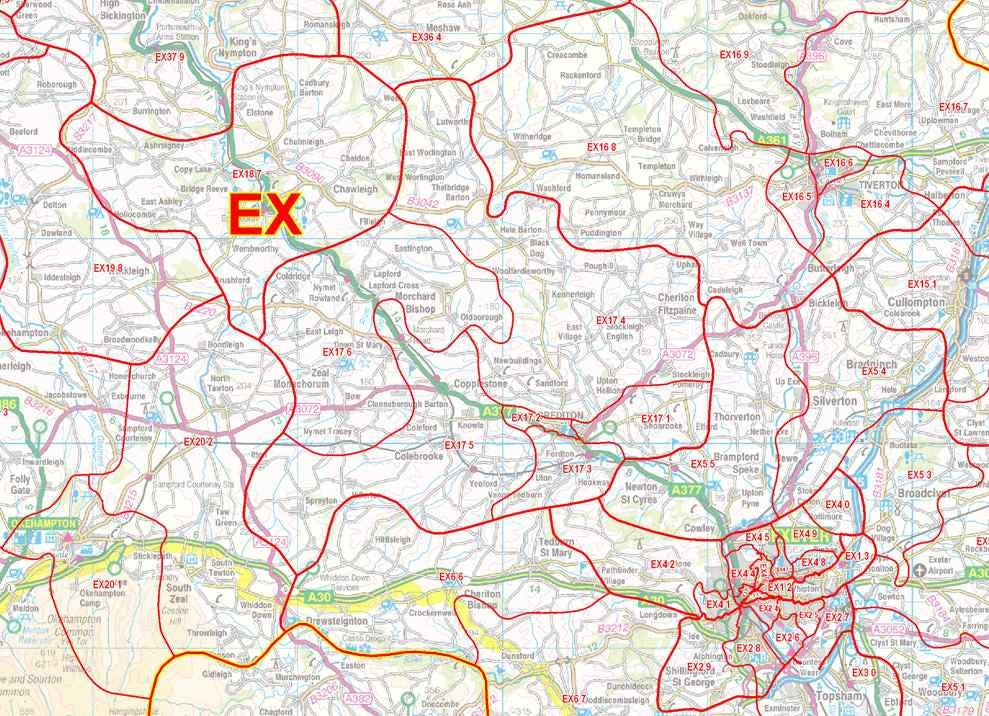
Our best selling Postcode map of East Devon, Dorset & Somerset - including Bournemouth, Exeter & Plymouth - showing Postcode Sector boundaries ('BA1 1', 'DT1 2' etc) for the Area. Postcode Sectors are all but the last 2 characters of the Postcode. Using our Postcode of OX7 5LJ as an example, our Postcode Sector is 'OX7 5'.
About This East Devon, Dorset & Somerset Postcode Map
- Choose from our large A0 (119cm x 84cm) poster-size or our huge 2A0 (168cm x 119cm) Postcode District wall map for easy viewing across the office.
- Up to date Postcode Sector boundaries and labels in red for clear viewing and quick reference.
- Accurate Ordnance Survey 1:150,000 scale map to locate key cities, towns and roads
- Laminated on both sides with clear plastic to protect from creases, rips and spills extending the life of your map.
- Annotate your map with sales territories, franchise areas or customer locations using water based marker pens and wipe clean again.
This Postcode Map Covers:
- From Plymouth in the West across to Bournemouth in the East and from the North coast of Devon to the South coast.
- Towns: Barnstaple, Bournemouth, Bridgwater, Dorchester, Exeter, Frome, Plymouth, Taunton, Torquay, Weymouth, and Yeovil.
- Counties: Devon, Dorset, Somerset.
- Postcode Areas: BA, DT, EX, TQ, TA
- See the area this map covers in Google Maps >
Note: Locations listed may only be partially covered. If you need the map to cover a more specific area, try our online custom map maker >
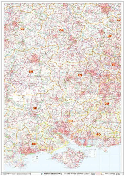
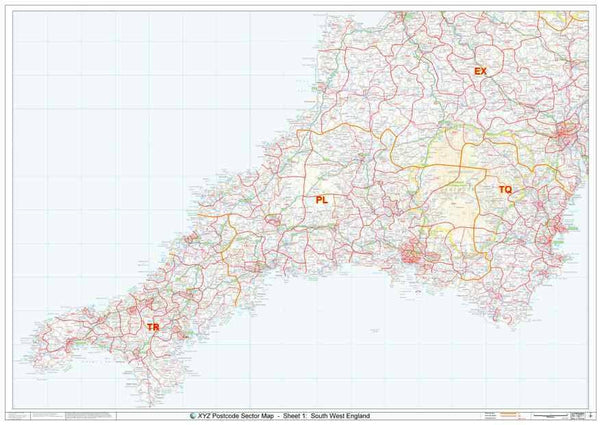
Click here for a UK view of all our Postcode Sector map sheets >
Please allow 5 working days for delivery. For more urgent requirements, please call.