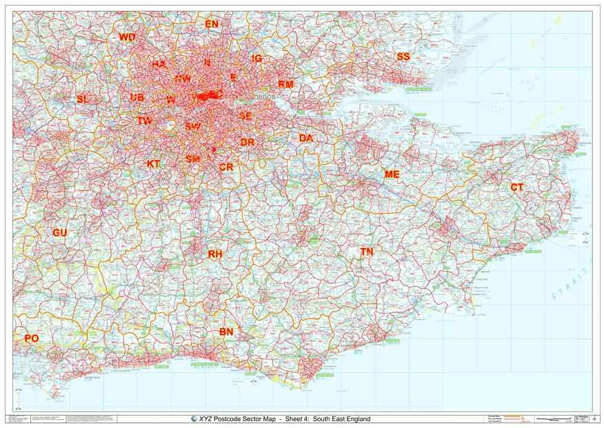
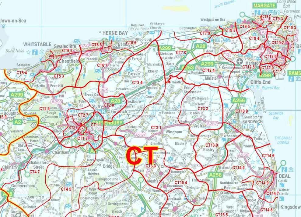
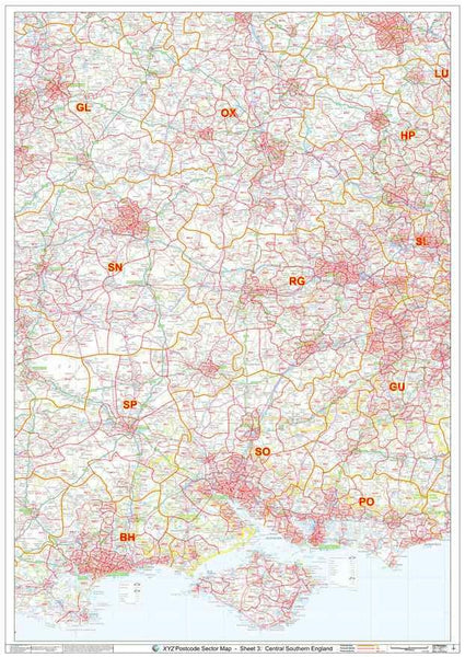
View Your Basket

South East England Postcode Sector Map

Postcode Wall Map of South East England Showing Postcode Sectors (eg E1 1, UB7 0)

South East England Postcode Sector Map Information

The South East England Postcode Sector map is the definitive Postal Code map of South East England. This map shows Postcode Sector boundaries (BN1 1, BN1 2 etc) on a clear wall map and is perfect for local planning or as a local reference guide.


This map covers an area from Cheshunt in the North to the South coast and from Worthing in the West to the East coast. (For London click here).


Please allow 3 working days for paper maps to be delivered and 5 working days for plastic coated maps.

View the area covered by this Postcode Map in Google Maps

South East England Postcode Sector Map Detail
Section of map showing detail
(click to enlarge)
South East England Postcode Sectgor Map Overview
Overview of area covered by this map

<< View on Google Maps >>

  x

Map Details

Scale: 1:150,000

Size: A0 (119cm x 84cm)

Finish: All maps are printed on high quality paper. 'Plastic Coated' maps are encapsulated between two sheets of plastic which protect your map from creases, folds and tears. Framing can be arranged on request

Map Features

  1. Postcode Sector boundaries in red with associated Postcode Sector Names (eg BN1 2)
  2. Map background in colour including motorways and primary roads
  3. Major towns, cities and villages

This Postcode Map Approximately Covers:

Whilst this map is the best choice for the geographic areas listed below, it may not cover the entire area named. If you need to check the map coverage, please contact us.

Towns: Basildon, Brighton, Slough, Southend-on-Sea, Watford

Counties: East Sussex, Kent, Surrey, West Sussex, Greater London (not suitable for Greater London or Central London)

Postcode Areas: BN, CT, EN, GU, HP, ME, PO, RH, SL, SS, TN


View the area covered by this Postcode Map in Google Maps