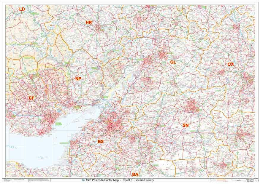
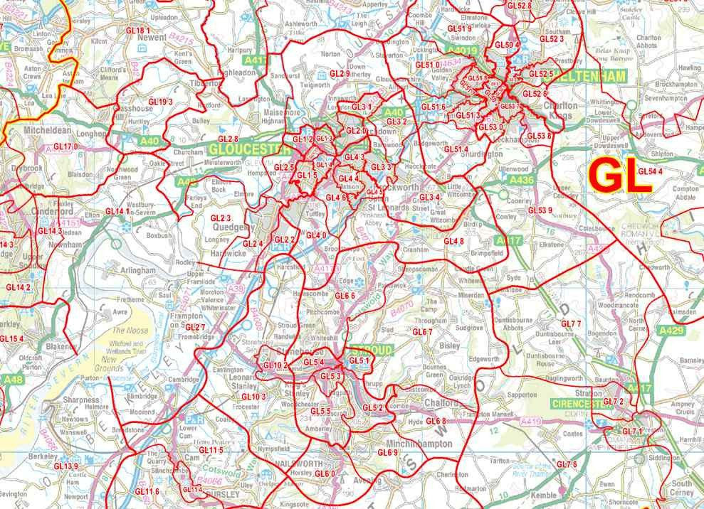
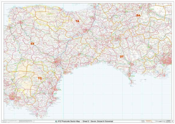
A large high quality laminated Postcode map of The Severn Estuary - including Bath, Bristol & Gloucester - showing Postcode Sector boundaries ('BS1 1', 'GL1 2').
About This Severn Estuary Postcode Sector Map
- Large A0 (119cm x 84cm) poster-size Postcode Sector wall map for easy viewing across the office.
- Up to date Postcode Sector boundaries and labels in red for clear viewing and quick reference.
- Accurate Ordnance Survey 1:150,000 scale map to locate key cities, towns and roads
- Laminated on both sides with clear plastic to protect from creases, rips and spills extending the life of your map.
- Annotate your map with sales territories, franchise areas or customer locations using water based marker pens and wipe clean again.
This Postcode Map Covers:
- From Cardiff in the West to Oxford in the East and from Worcester in the North to Andover in the South.
- Towns: Abergavenny, Andover, Banbury, Bath, Brecon, Bristol, Cardiff, Cheltenham, Chippenham, Gloucester, Hereford, Newbury, Newport, Oxford, Pontypridd, Swindon, Trowbridge, Weston-super-Mare.
- Counties: Gloucestershire, Herefordshire, Monmouthshire, North Somerset, Wiltshire,
-
Postcode Areas: BA, BS, CF, GL, HR, NP, OX, SN
- See coverage in Google Maps here >
Note: All locations listed may only be partially covered. If you need the map to cover a more specific area, try our online custom map maker >
Click here for a UK view of all our Postcode Sector map sheets >
Please allow 5 working days for delivery. For more urgent requirements, please call.