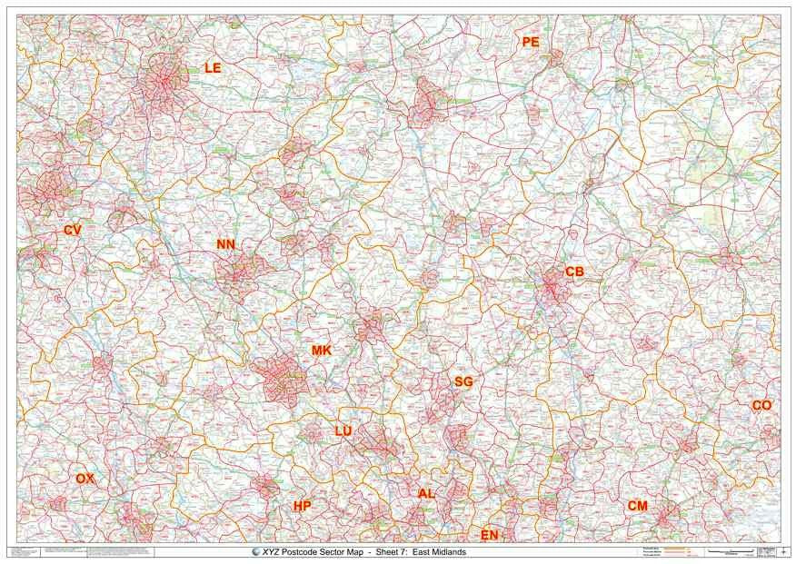
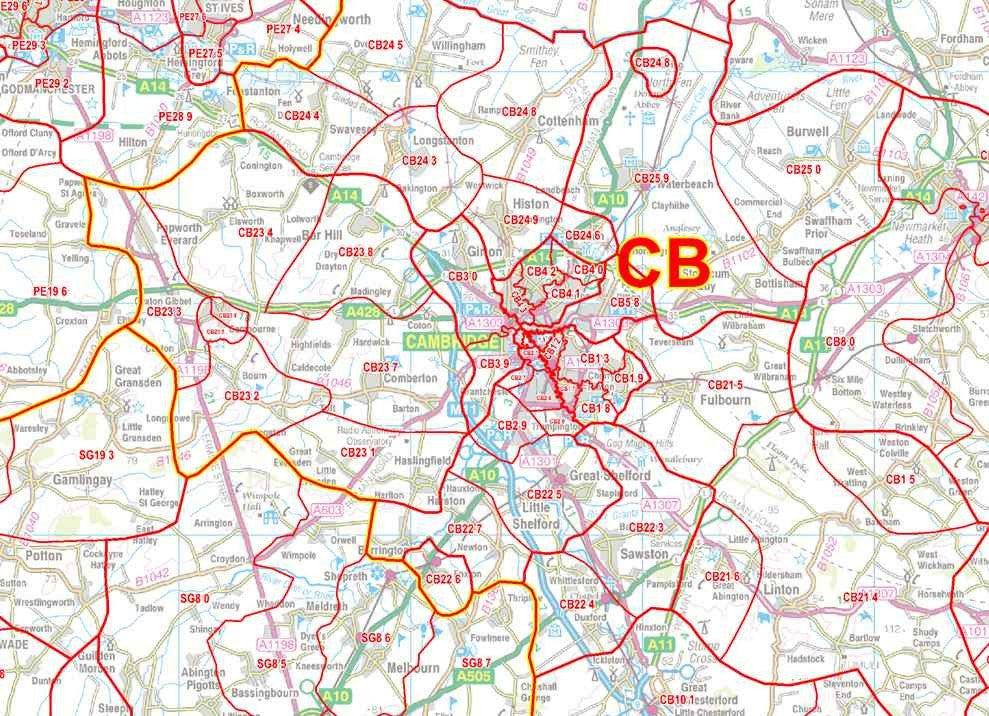
East Midlands Postcode Sector Map
About:
The East Midlands Postcode Sector map is the definitive Postal Code map of the East Midlands area. This map shows Postcode Sector boundaries (NN1 1, NN1 2 etc) on a clear wall map and is perfect for local planning or as a local reference guide.
Extent:
This map covers an area from Leicester in the North to Chelmsford in the South and from Coventry in the West to Colchester in the East.
Price:
£24.99 for paper or £39.99 for plastic coated
Delivery:
Please allow 3 working days for paper maps to be delivered and 5 working days for plastic coated maps.
Order:
Map Details
Scale: 1:150,000
Size: A0 (119cm x 84cm)
Finish: All maps are printed on high quality paper. 'Plastic Coated' maps are encapsulated between two sheets of plastic which protect your map from creases, folds and tears. Framing can be arranged on request.
Map Features
- Postcode Sector boundaries in red with associated Postcode Sector Names (eg OX1 4)
- Map background in colour including motorways and primary roads
- Major towns, cities and villages
This Postcode Map Covers:
Towns: Coventry, Leicester, Luton, Milton Keynes, Northampton, Oxford, Peterborough
Counties: Bedfordshire, Buckinghamshire, Cambridgeshire, Essex, Hertfordshire, Leicestershire, Northamptonshire, Oxfordshire, Peterborough, Rutland, Warwickshire
Postcode Areas: AL, CB, CM, CV, EN, HP, LE, LU, MK, NN, OX, PE, SG
Sponsored Links for Similar Products:
You May Also Be Interested In:
Have Questions Or Require Assistance?
Can't find the map you need or want to check the details of this map? Please use our contact form to quickly ask us a question and one of our advisors will be back with the required information as soon as possible.


