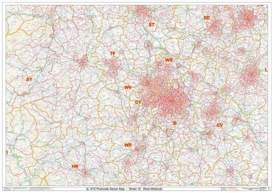
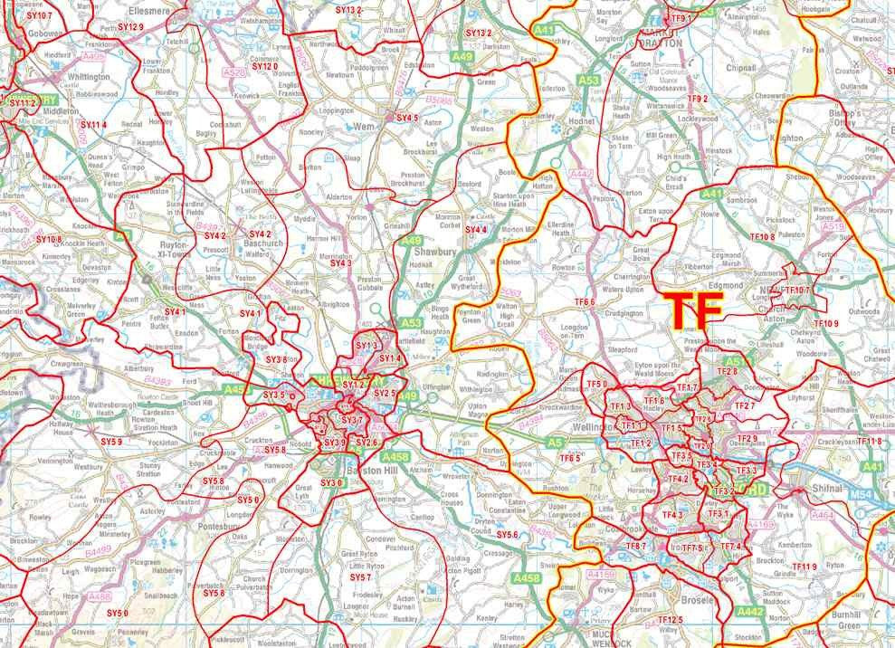
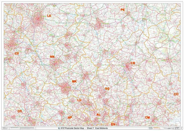
West Midlands Postcode Sector Map
About:
The West Midlands Postcode Sector map is the definitive Postal Code map of the West Midlands area. This map shows Postcode Sector boundaries (B1 1, B1 2 etc) on a clear wall map and is perfect for local planning or as a local reference guide.
Extent:
This map covers an area from Stoke in the North to Hereford in the South and from Newtown in the West to Leicester in the East.
Price:
£24.99 for paper or £34.99 for plastic coated
Delivery:
Please allow 3 working days for paper maps to be delivered and 5 working days for plastic coated maps.
Order:
Map Details
Scale: 1:150,000
Size: A0 (119cm x 84cm)
Finish: All maps are printed on high quality paper. 'Plastic Coated' maps are encapsulated between two sheets of plastic which protect your map from creases, folds and tears. Framing can be arranged on request.
Map Features
- Postcode Sector boundaries in red with associated Postcode Sector Names (eg DY1 2)
- Map background in colour including motorways and primary roads
- Major towns, cities and villages
This Postcode Map Covers:
Towns: Birmingham, Coventry, Derby, Dudley, Leicester, Nottingham, Stoke-on-Trent, Sutton Coldfield, Telford, Walsall, West Bromwich, Wolverhampton
Counties: Herefordshire, Leicestershire, Powys, Shropshire, Staffordshire, Warwickshire, West Midlands, Worcestershire
Postcode Areas: B, CV, DE, DY, HR, LD, LE, ST, SY, TF, WR, WS, WV
Sponsored Links for Similar Products:
You May Also Be Interested In:
Have Questions Or Require Assistance?
Send us an email or call us on 0208 757 8955


