T
Tamara Phillip fast Delivery and Just what we wanted for our office thank you. :)
M
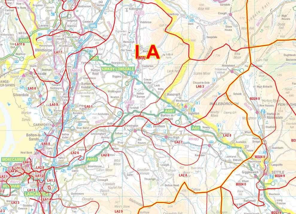
MICHAEL WATSON Map is great although slightly too detailed gor my needs, had to chase supply unfortunately, as order went array
S
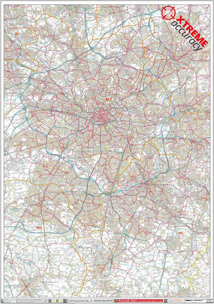
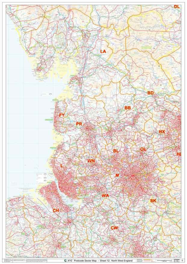
Susan Wilson Large, laminated map with full details and postcode sectors highlighted. Exactly what I needed for the project I am involved in. Ordered another 2 for different departments as they thought it would be really useful. Arrived within 2 days of ordering and was well packaged.
Would highly recommend.