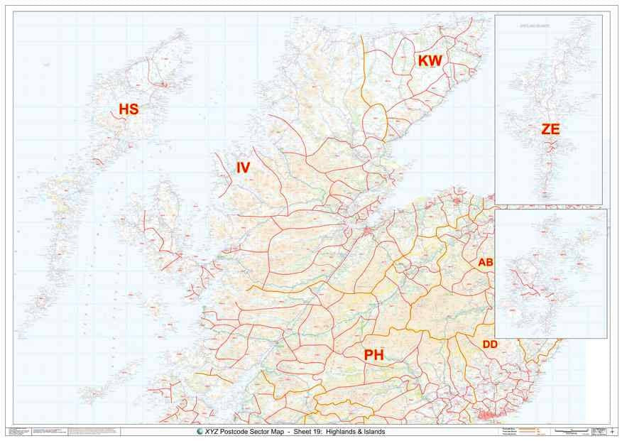
A large high quality laminated Postcode map of the Scottish Highlands - including Fort William, Inverness & Perth - showing Postcode Sector boundaries ('IV1 1', 'KW1 2').
About This Scottish Highlands Postcode Sector Map
- Large A0 (119cm x 84cm) poster-size Postcode Sector wall map for easy viewing across the office.
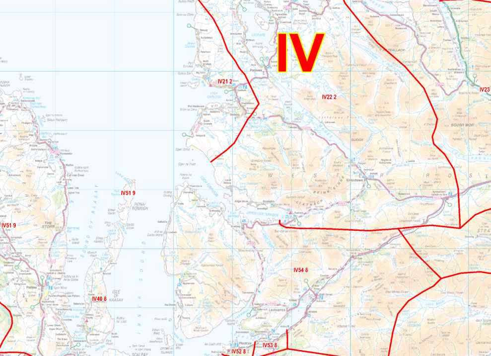
- Up to date Postcode Sector boundaries and labels in red for clear viewing and quick reference.
- Accurate Ordnance Survey 1:150,000 scale map to locate key cities, towns and roads
- Laminated on both sides with clear plastic to protect from creases, rips and spills extending the life of your map.
- Annotate your map with sales territories, franchise areas or customer locations using water based marker pens and wipe clean again.
This Postcode Map Covers:
- From the West coast to the East coast and from the North coast to Perth in the South.
- Towns: Fort William, Inverness, Kirkwall, Lerwick, Perth, Pitlochry, Skye, Stornoway, Thurso, Wick.
- Counties: Argyll & Bute, Highlands, Moray, Aberdeenshire, Angus, Perth & Kinross
-
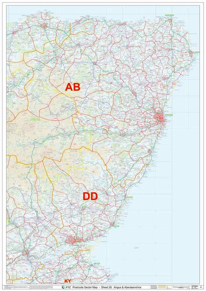
Postcode Areas: DD, HS, IV, KW, PH, ZE
- See the area this map covers in Google Maps >
Note: All locations listed may only be partially covered. If you need the map to cover a more specific area, try our online custom map maker >
Click here for a UK view of all our Postcode Sector map sheets >
Please allow 5 working days for delivery. For more urgent requirements, please call.