Search
Close menu
Menu
Search
Currency
GBP
EUR
Log in
Create account
0
Cart
Added to Cart
You have
items in your cart
You have
1
item in your cart
Total
Check Out
Continue Shopping
Postcode Maps
Postcode Wall Maps
National Maps
Regional Maps
Maps By Postcode Area
Postcode PDF Maps
National Maps
Regional Maps
Local Maps
Custom Postcode Maps
County Maps
Custom Maps
Custom Postcode Maps
Administrative Maps
A-Z Maps
Ordnance Survey Maps
Historical Maps
Europe Maps
World Maps
Search
Close menu
Postcode Maps
Postcode Wall Maps
National Maps
Regional Maps
Maps By Postcode Area
Postcode PDF Maps
National Maps
Regional Maps
Local Maps
Custom Postcode Maps
County Maps
Custom Maps
Custom Postcode Maps
Administrative Maps
A-Z Maps
Ordnance Survey Maps
Historical Maps
Europe Maps
World Maps
Log in
Create account
Home
›
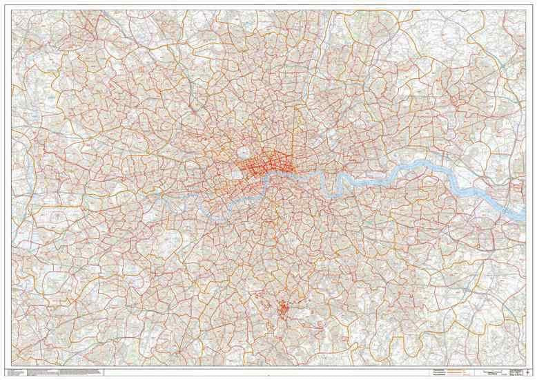
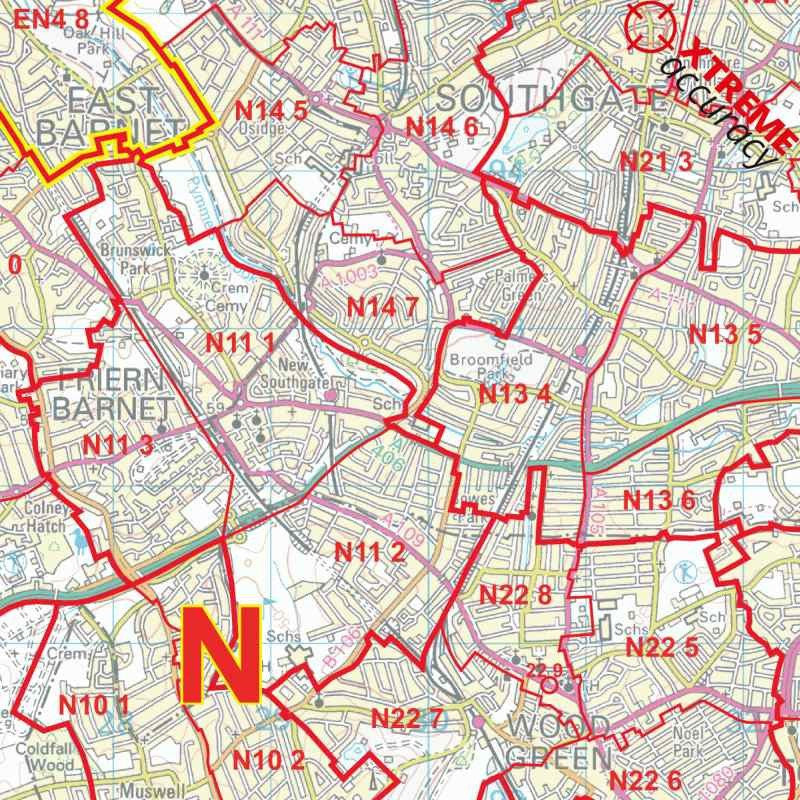
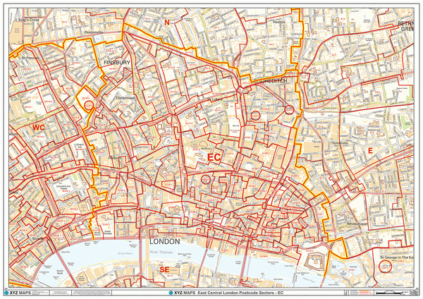
Greater London Postcode Sector Map (G1)
Twitter
Facebook
Customer Reviews
Based on 1 review
Write a review
100%
(1)
0%
(0)
0%
(0)
0%
(0)
0%
(0)
D
DAVE PLAWES
Great service
The ordering process was easy and delivery speed amazing. Would definitely recommend and use again.
Related Products
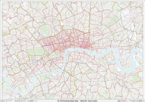
Central London Postcode Map (C1)
£34.99
Visit Product
Central London Postcode Map With Streets (C1)
£34.99
Visit Product
Greater London Authority Borough Postcode District Map (LAD)
£34.99
Visit Product
Central London Postcode Map (C1)
£34.99
Visit Product
Central London Postcode Map With Streets (C1)
£34.99
Visit Product
Central London Postcode Map With Streets (C1) GIF or PDF Download
£59.00
Visit Product
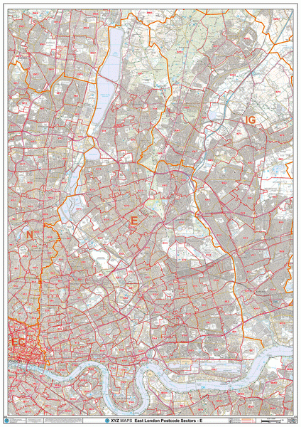
East London Postcode Map (E)
£34.99
Visit Product
EC Postcode Area Map
£34.99
Visit Product
Greater London Authority Borough Postcode District Map (LAD)
£34.99
Visit Product
Greater London Authority Borough Postcode District Map (LAD)
£34.99
Visit Product