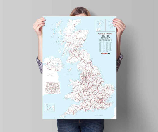
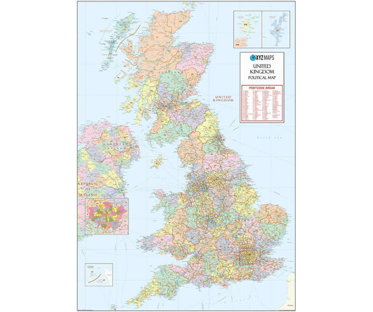
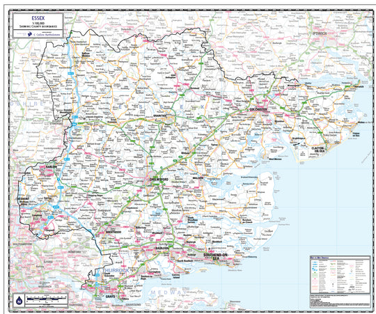
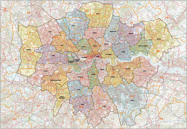
We offer the largest range of UK Postcode maps using official Ordnance Survey map detail and Postcode boundaries defined using Royal Mail Postcode information.
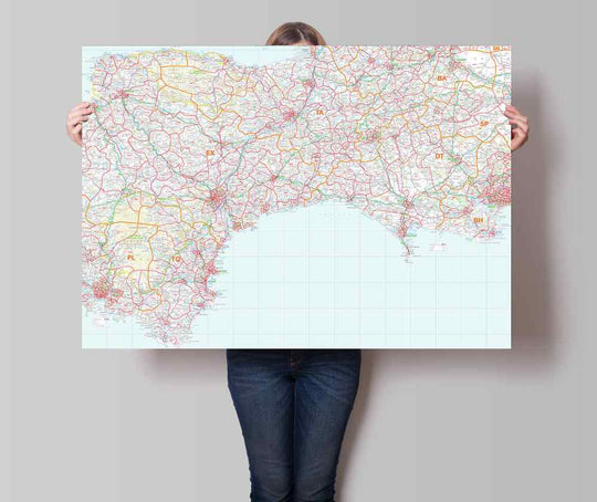
From Postcode Area maps for the UK to detailed Postcode maps for towns and cities such as Birmingham, Bristol, Glasgow, Liverpool and Manchester; you can be assured of finding the perfect Postcode map for your business.
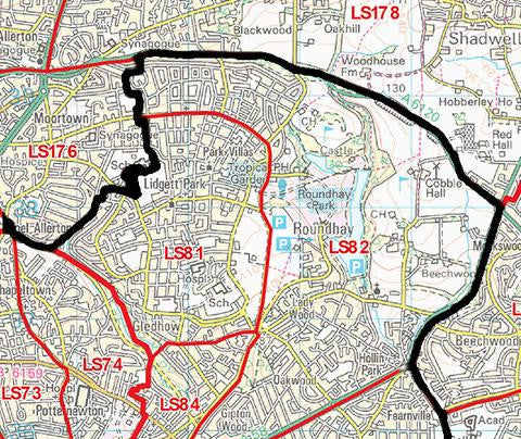
If you are a franchise business or operate a sales territory; ask about our custom map service which allows you to create a Postcode map specifically for your area. Maps can be created to almost any size and designed to clearly show your franchise or territory area for the perfect visual planning aid for your Postcode based sales and marketing activity.
With so many options to choose from, the quickest way to find the Postcode map you are looking for is to just enter a town or Postcode Area below and click search or contact us and we'll be happy to advise you.