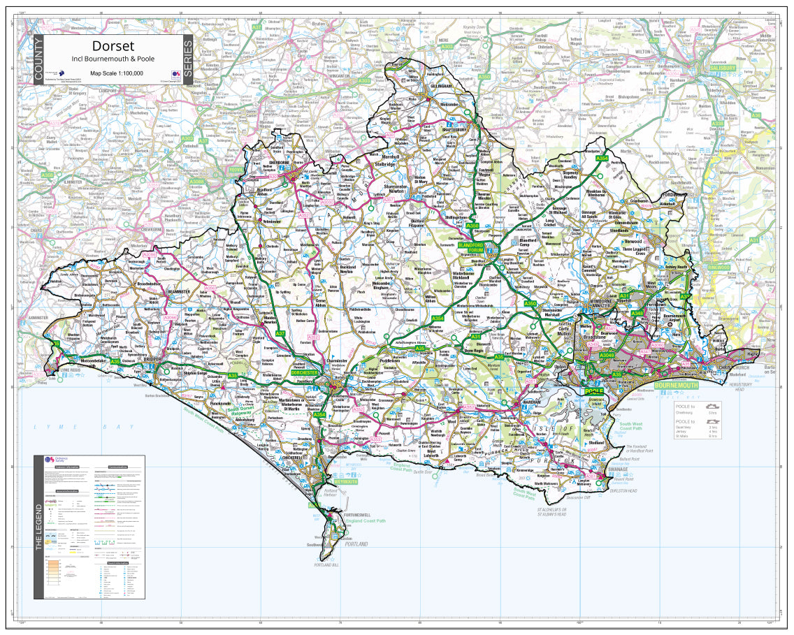
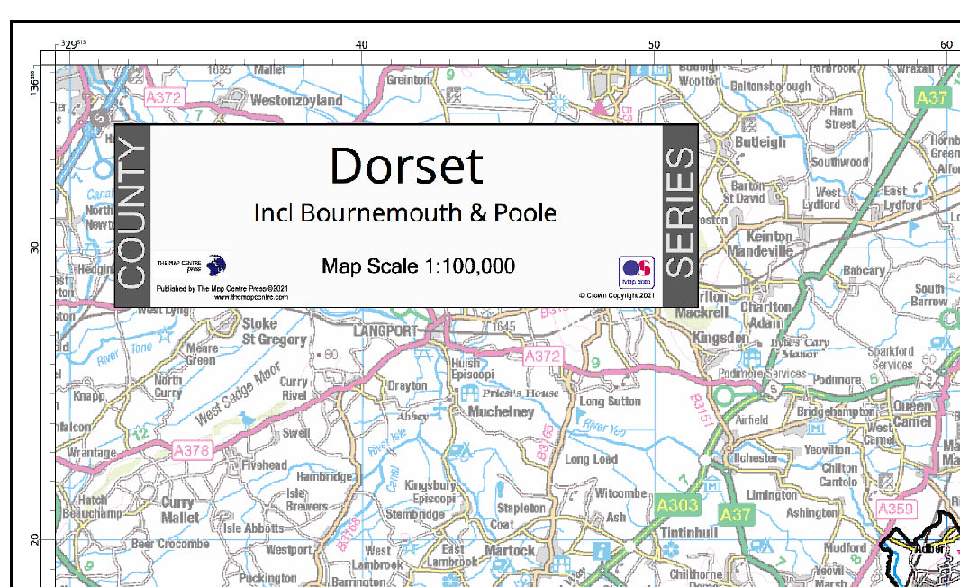
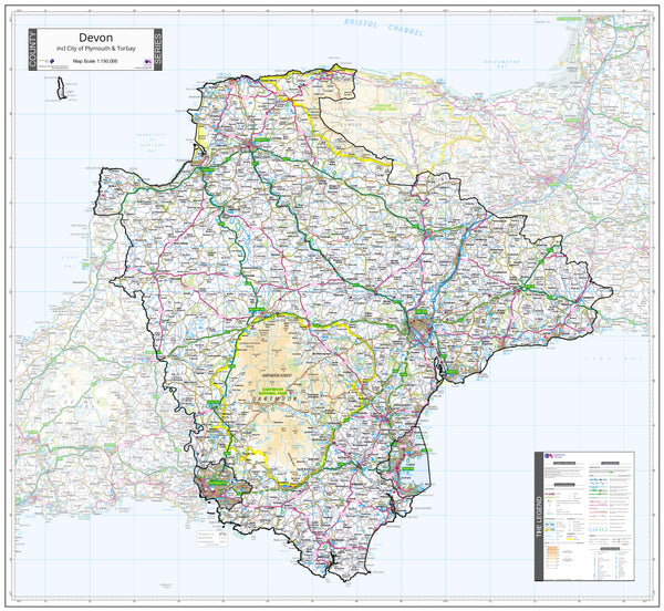
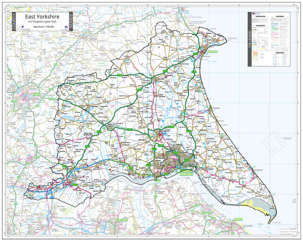
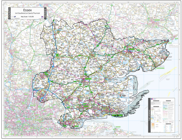
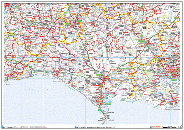
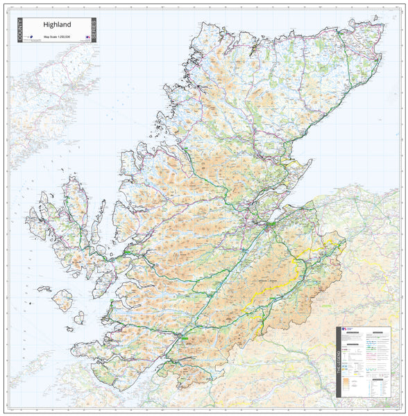
The Dorset County Wall Map
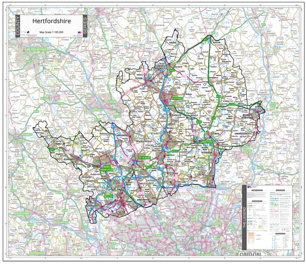
Our Dorset County Wall Map is the perfect addition to any home, office, or classroom. This map is created from the latest official Ordnance Survey map information, making it the most accurate and up-to-date map of the county of Dorset available. Whether you're a local or a visitor, this map is an essential tool for exploring and navigating the county.
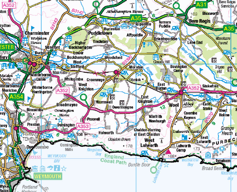
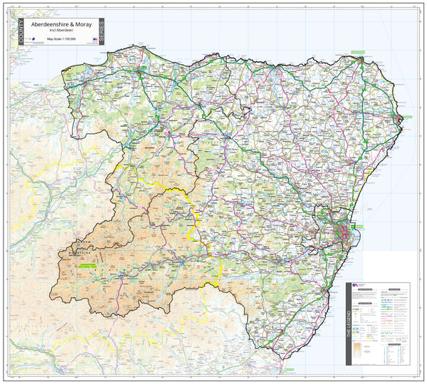
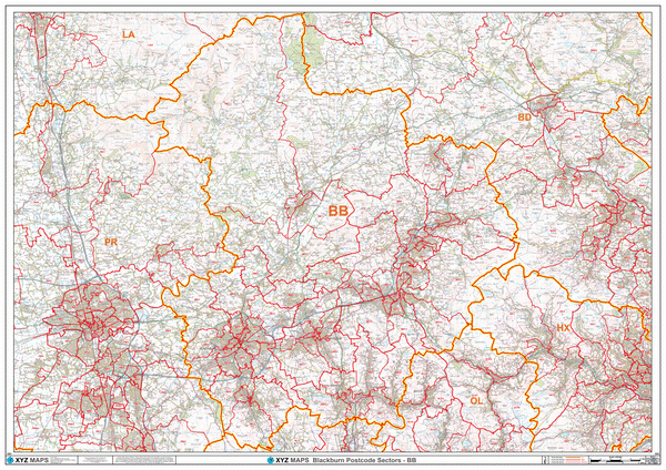
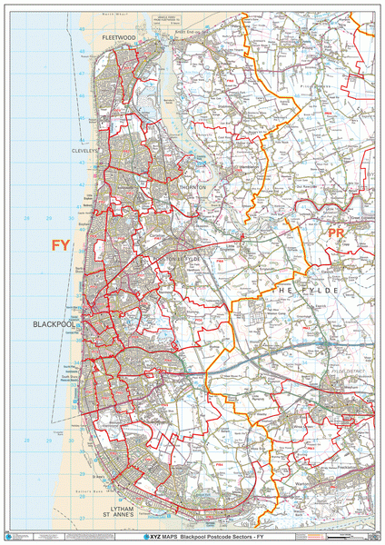
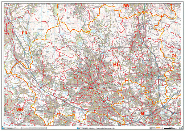
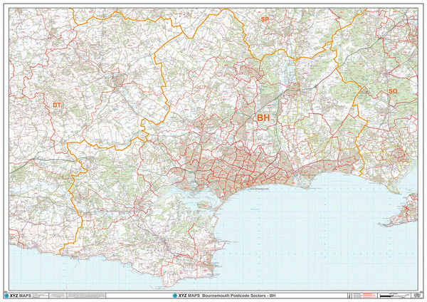
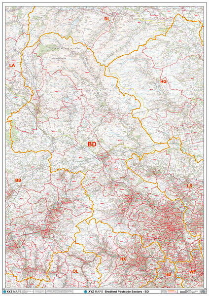
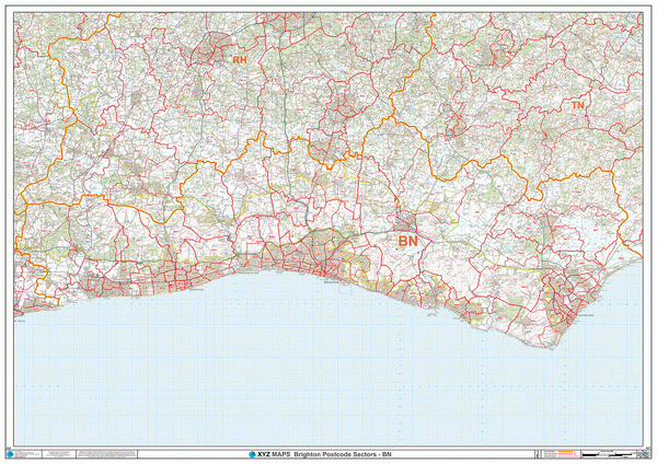
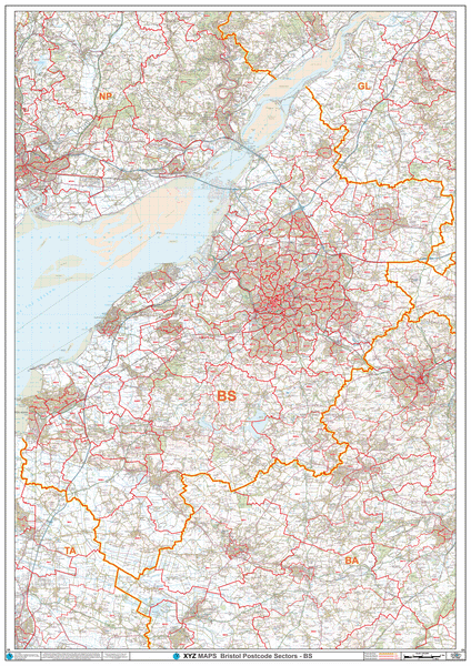
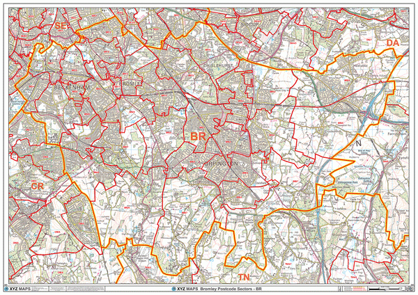
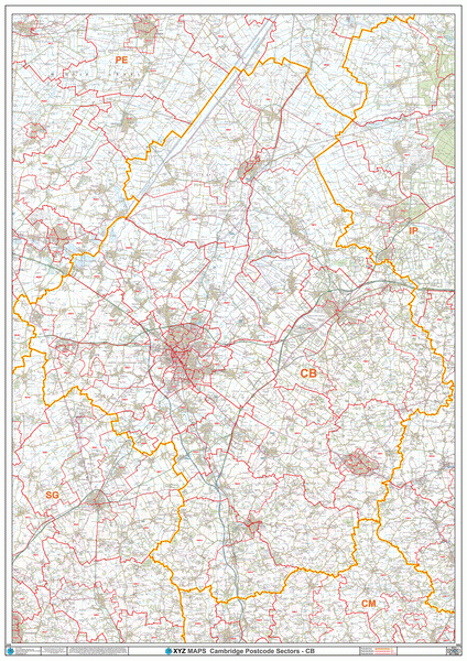
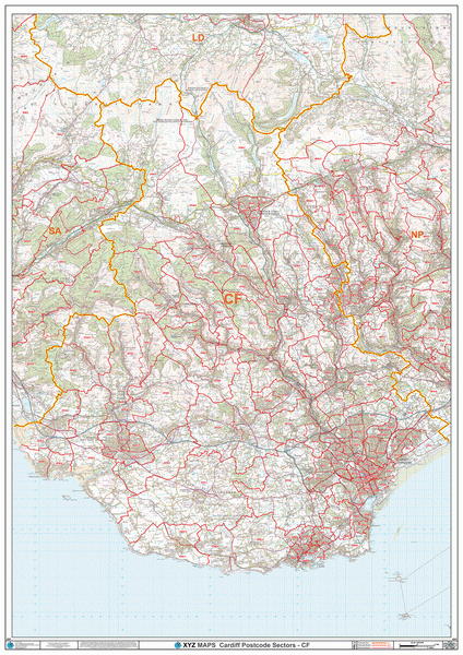
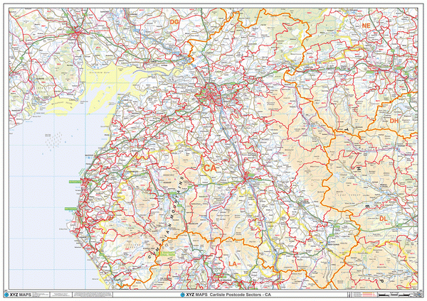
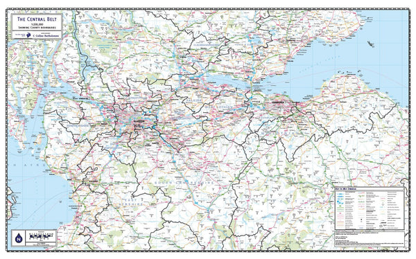
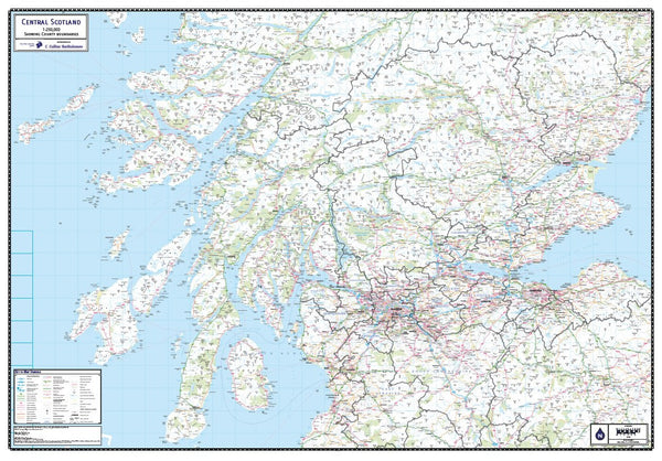
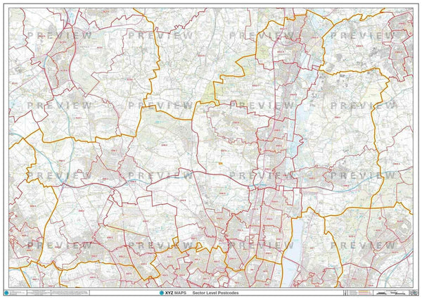
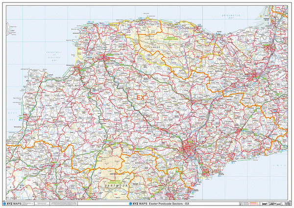
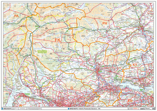
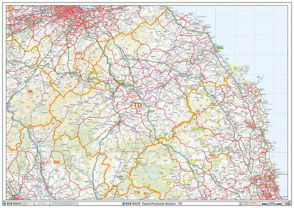
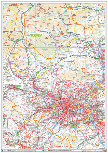
The map shows the latest County and Unitary Authority boundaries as captured by Ordnance Survey overlaid on a clear and easy to read 1:100,000 colour map. This means that you can easily identify the different areas of the county and their boundaries, helping you to plan your journeys and understand the geography of the region.
One of the best features of this map is the plastic laminate finish, which allows you to use dry-wipe markers to draw on the map and wipe clean. This is perfect for marking your favourite spots, highlighting important locations, or even planning your next trip. The laminate finish also provides extra protection and durability, ensuring that your map will last for years to come.
At 100cm x 80cm, this map is the perfect size for hanging on a wall and displaying in your home, office, or classroom. It's printed on high-quality paper and can be laminated for extra protection against creases, folds, and tears. The map is easy to read and contains a wealth of information about the county, including towns, villages, major roads, and landmarks.
If you're looking for a reliable and accurate map of Dorset, look no further than our Dorset County Wall Map. Whether you're exploring the beautiful countryside, planning a road trip, or just want to learn more about the county, this map is an essential tool. Order now and start exploring!
If you need the map to cover a more specific area, try our online custom map maker >

|
14 Day Money Back Guarantee.
Return your map for a full refund if not satisfied |
 |
Orders are usually delivered within 5 working days!
Please note these maps will be sent to you by courier in a sturdy map tube and will require a signature on delivery
|
VERSATILE
The plastic laminate finish allows you to use dry-wipe markers to draw on the map and wipe clean.
ACCURATE
Created from the latest official Ordnance Survey map information, you can be sure that this map is the most accurate and up-to-date map of the county of Dorset available.
DURABLE
This county map can be laminated for extra protection and durability. Crease-proof and tear-proof, you may never need another map!
MAP DETAILS
-
Size: 100cm x 80cm
-
Scale: 1:100,000
-
Finish: All maps are printed on high quality paper with optional lamination to protect your map from creases, folds and tears.
-
MPN: 978 1 906979 19 5