Postcode Locations and Latitude Longitude For Geocoding
Postcode Location Geocoding is the process of converting addresses into grid references or latitude longitude via the Postcode of the address which you can use to plot the address on a map.
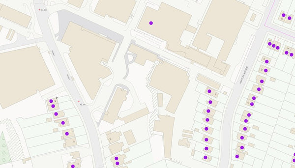
Postcodes in the UK are shared across, on average, 15 properties and are allocated a 1 metre resolution grid reference which represents the average position of properties within that Postcode. This provides a cost-effective and accurate way of easily plotting addresses across the UK.
The Postcode Locations file provides an up-to-date and comprehensive record of every UK Postcode that has ever existed and its associated 6 figure British National Grid Reference plus the Latitude Longitude coordinate. Perfect for plotting customer addresses, location based services, mapping analysis and routing.
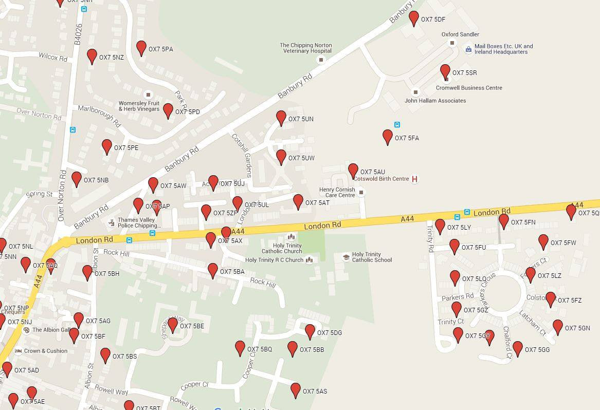
See a sample of our Postcode Latitude Longitude Location Data in Google Maps here >
Available in a variety of formats including CSV text, Excel 2007+, Access, MIF/MID, KML and SHAPE formats, the data files contain the following fields of information:
- Postcode
- Postcode Sector
- Postcode District
- Postcode Area
- PQI (Positional Quality Indicator for the Grid Reference)
- X_Coord (6 figure British National Grid Reference Easting)
- Y_Coord (6/7 figure British National Grid Reference Northing)
- Longitude
- Latitude
Download the Full Product Specification for additional product information >
Postcode Locations Data Formats
This data product is available in a variety of formats to allow you to get started immediately in your chosen software. The formats available are as follows:
 CSV Text files (3 separate text files: Postcode Areas AB-LN; Postcode Areas LS-ZE; Retired Postcodes)
 Excel Spread Sheet (a single spread sheet with 3 worksheets: Postcode Areas AB-LN; Postcode Areas LS-ZE; Retired Postcodes)
 Access .accdb Format (a single database containing 2 tables: Valid Postcodes; Retired Postcodes)
 KML Format (Keyhole Markup Language: an XML based file format used to display geographic data in an Earth browser such as Google Earth and Google Maps)
 ESRI SHAPE Format (files for ESRI ArcInfo and ArcView products)
 MapInfo MIF/MID Format (files for MapInfo Professional)
Download a sample of the Postcode Location data in CSV text, Excel and KML format here >
Licensing & Updates
This Postcode latitude longitude data file is licensed on an annual basis for the appropriate fee specified above according to whether you wish to use the data:
- On a Single PC
- For use on a public facing website with an Internet Licence
- Unlimited use within your organisation and on your public facing website with a Company Licence
The licence fee must be paid each year to continue using the data and includes updates every 3 months to the data to accommodate new and retired Postcodes in addition to improved grid reference accuracy.
Additional Information
Delivery of the data in your chosen format will be within 24 hours from receipt of your order (excluding weekends).
Of course, if you have any questions which aren't covered by the information on our website, please Contact Us and we'll be happy to answer any questions on Postcode Locations and latitude longitude geocoding.