Census Data By Postcode Area
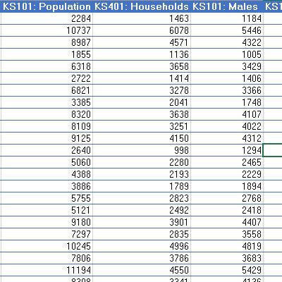
Census data counts tell you how many - and what types of - residents and households are in each Postcode Sector of your chosen Postcode Area (Census counts for the entire United Kingdom are also available here).
These counts are supplied as an Excel spread sheet with a row for every Postcode Sector and the various census counts as columns. These spread sheets are perfect accompaniments to our Postcode maps to assist with a wide range of business planning and sales and marketing tasks including:
- Locating your ideal customers/ audience.
- Calculating the size of your potential market and, as a result, your sales potential.
- Targeting advertising and marketing activity to appropriate audiences.
- Estimating leaflet volumes for Door to Door campaigns.
- Assessing retail catchment area potential
- Balancing sales territories by sales potential and establishing appropriate sales targets.
- Sizing balanced and equitable franchise areas