Good size map with clear boundaries across areas. Laminated so I can write on it / mark out territories. Exactly what I needed. Great service, delivered before expected time. Thank you.
T
Tom Salmon
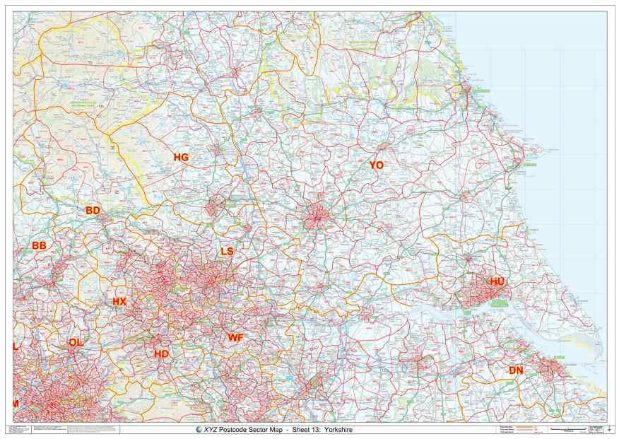
Nice quality but cuts off South Yorkshire
A nice quality map used to plan a regional campaign, however the south of Yorkshire (Sheffield and Rotherham) are not included which is a shame