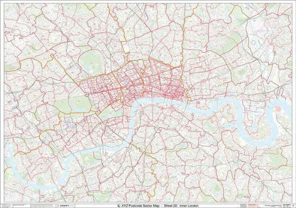
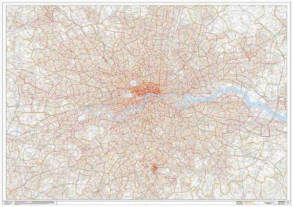
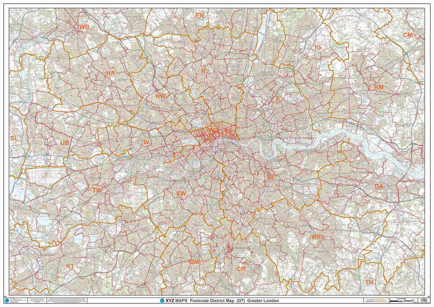
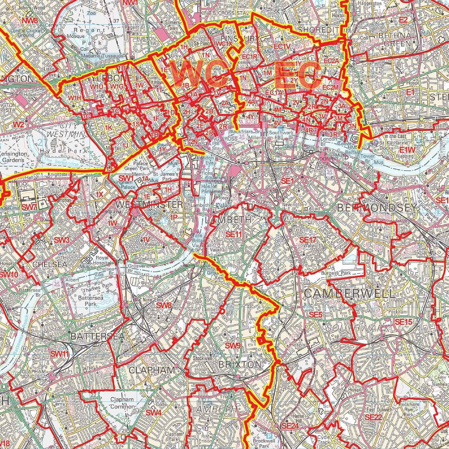
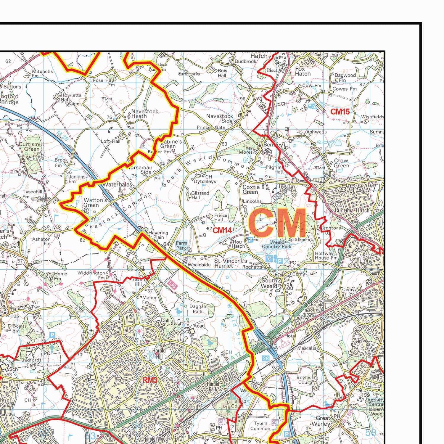
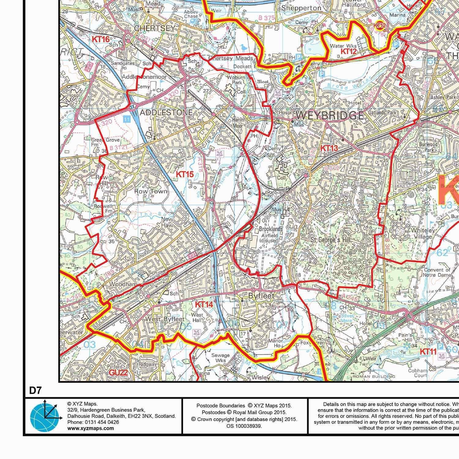
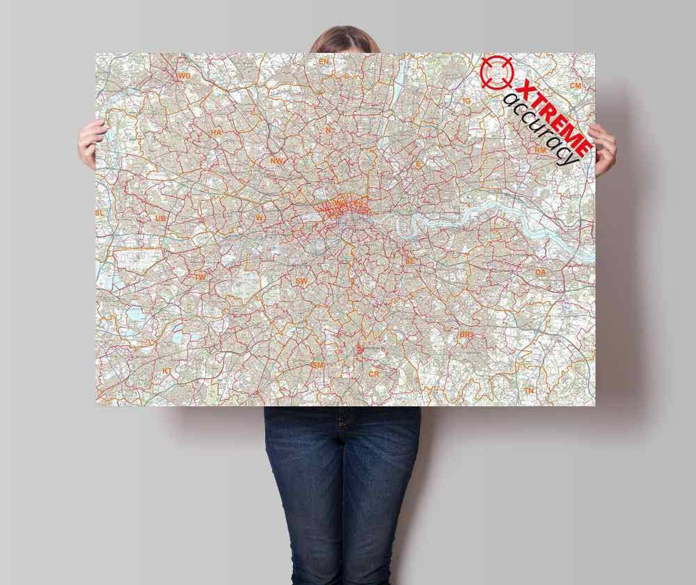
A large high quality laminated Postcode map of Greater London showing Postcode District boundaries. Postcode Districts are the first half of the Postcode - everything before the space. Using our Postcode of OX7 5LJ as an example, our Postcode District is OX7.
About This London Postcode District Map
- Choose from our large A0 (119cm x 84cm) poster-size or our huge 2A0 (168cm x 119cm) Postcode District wall map for easy viewing across the office.
- Up to date Postcode District boundaries and labels in red for clear viewing and quick reference.
- Accurate Ordnance Survey 1:50,000 scale map to locate key cities, towns and roads
- Laminated on both sides with clear plastic to protect from creases, rips and spills extending the life of your map.
- Annotate your map with sales territories, franchise areas or customer locations using water based marker pens and wipe clean again.
This Postcode Map Covers:
- From Uxbridge in the West across to Dartford in the East; and from Enfield in the North to Epsom in the South.
- Towns: Beckenham, Croydon, Dagenham, Dartford, Edgware, Enfield, Epsom, Harrow, Hounslow, Kingston upon Thames, Uxbridge, Watford.
- Postcode Areas: BR, DA, E, EC, HA, KT, N, NW, RM, SE, SM, SW, TW, UB, W, WC
- See map area on Google Maps >
Note: Locations listed may only be partially covered. If you need the map to cover a more specific area, try our online custom map maker >
Please allow 5 working days for delivery. For more urgent requirements, please call.