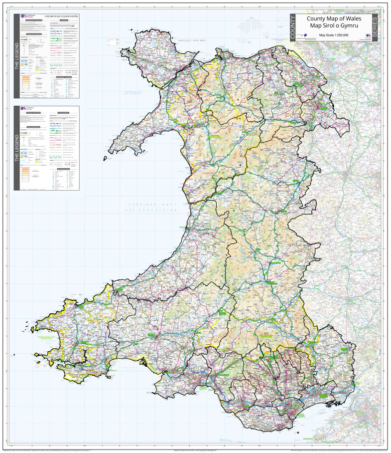
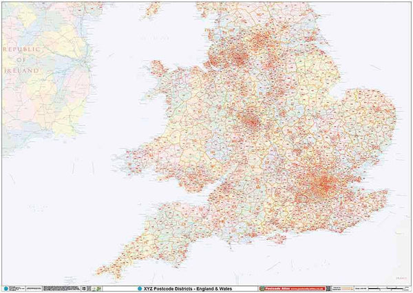
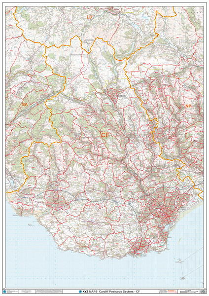
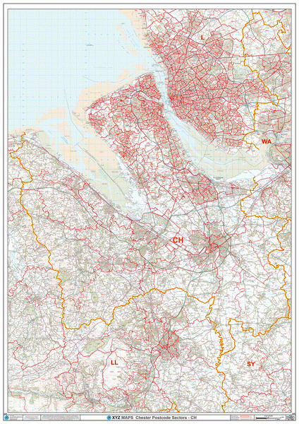
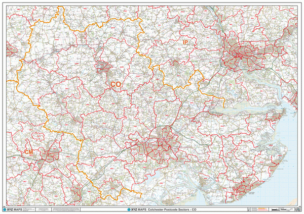
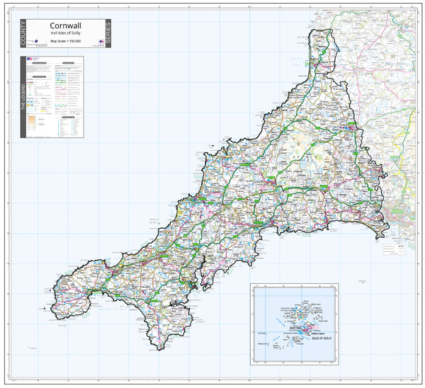
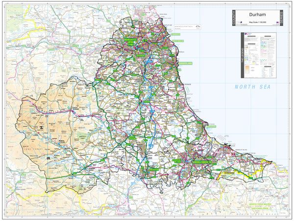
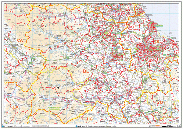
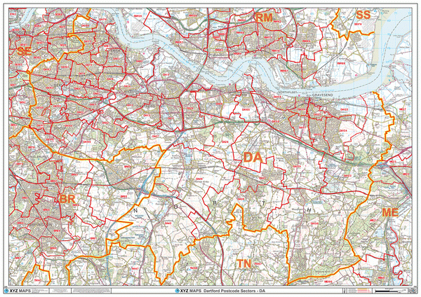
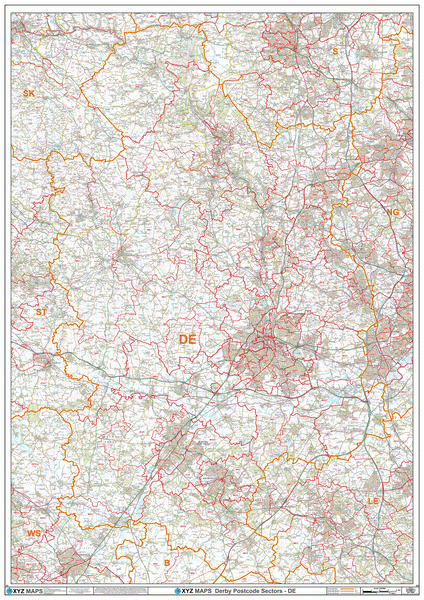
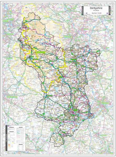
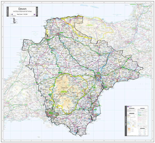
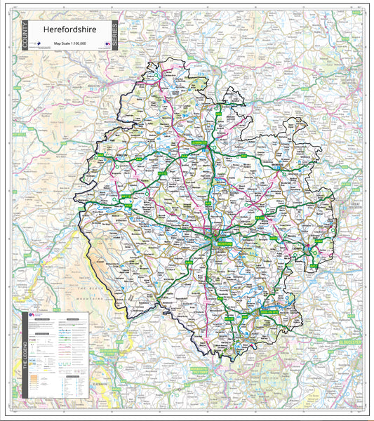
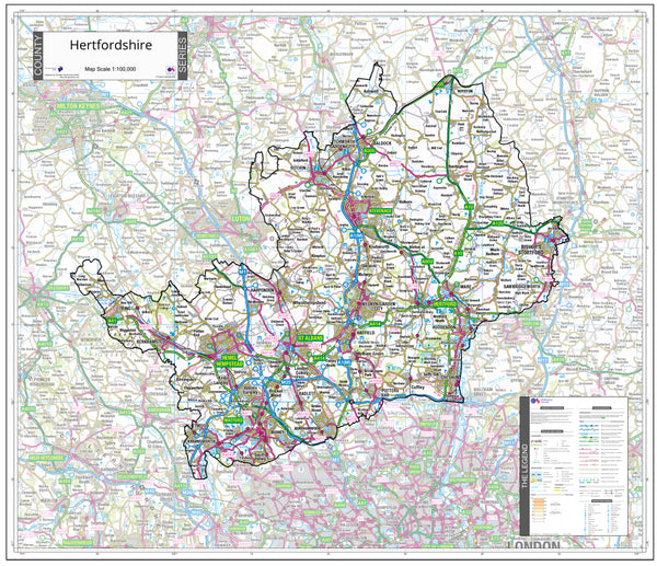
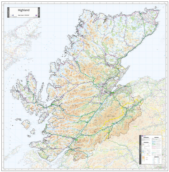
About This Wales Planning County Map
This is a large county map of Wales showing the county borders and the surrounding area slightly faded out for contrast. The map covers Cardiff, Swansea, Newport, Wrexham, Barry, Neath, Cwmbran, Bridgend, Llanelli, Merthyr Tydfil, Caerphilly, Port Talbot, Pontypridd, Aberdare, Colwyn Bay, Pontypool, Penarth, Rhyl, Blackwood and Buckley. The map shows the latest County and Unitary Authority boundaries as captured by Ordnance Survey overlaid on a clear and easy to read 1:250,000 colour map.
If you need the map to cover a more specific area, try our online custom map maker >

|
14 Day Money Back Guarantee.
Return your map for a full refund if not satisfied |
 |
Orders are usually delivered within 5 working days!
Please note these maps will be sent to you by courier in a sturdy map tube and will require a signature on delivery
|
VERSATILE
The plastic laminate finish allows you to use dry-wipe markers to draw on the map and wipe clean.
ACCURATE
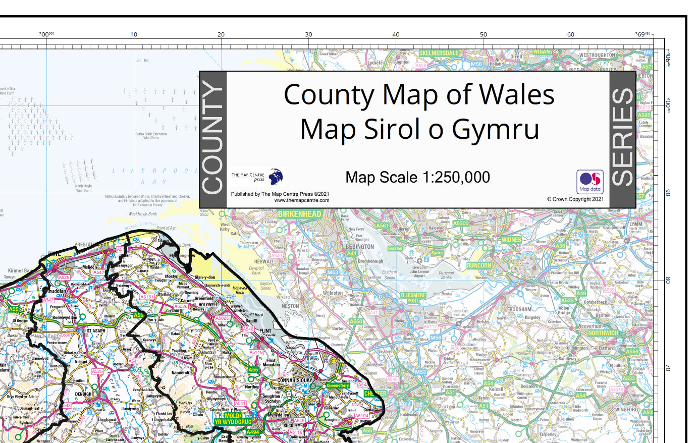
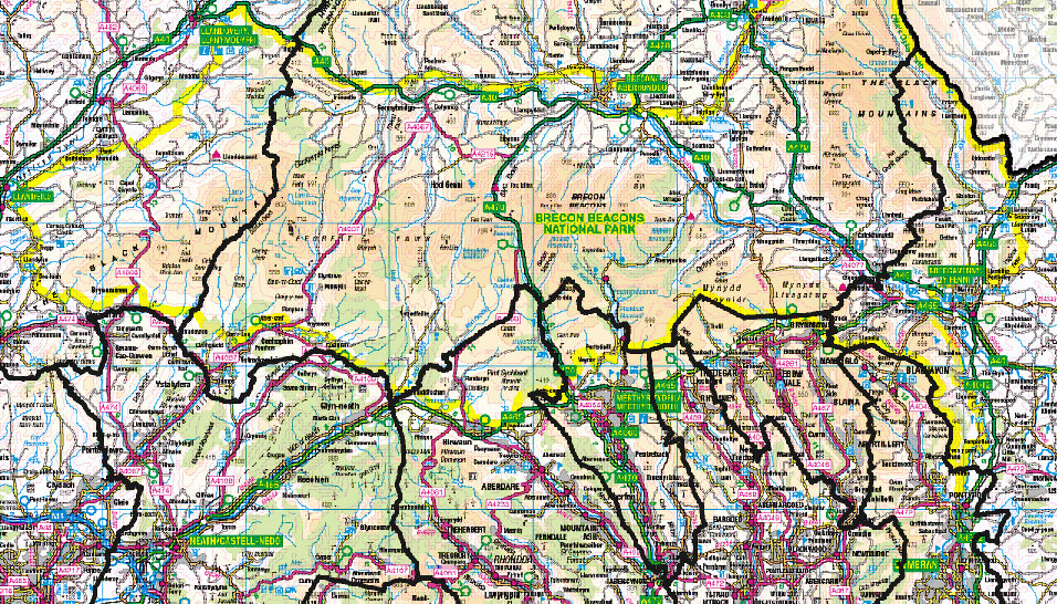
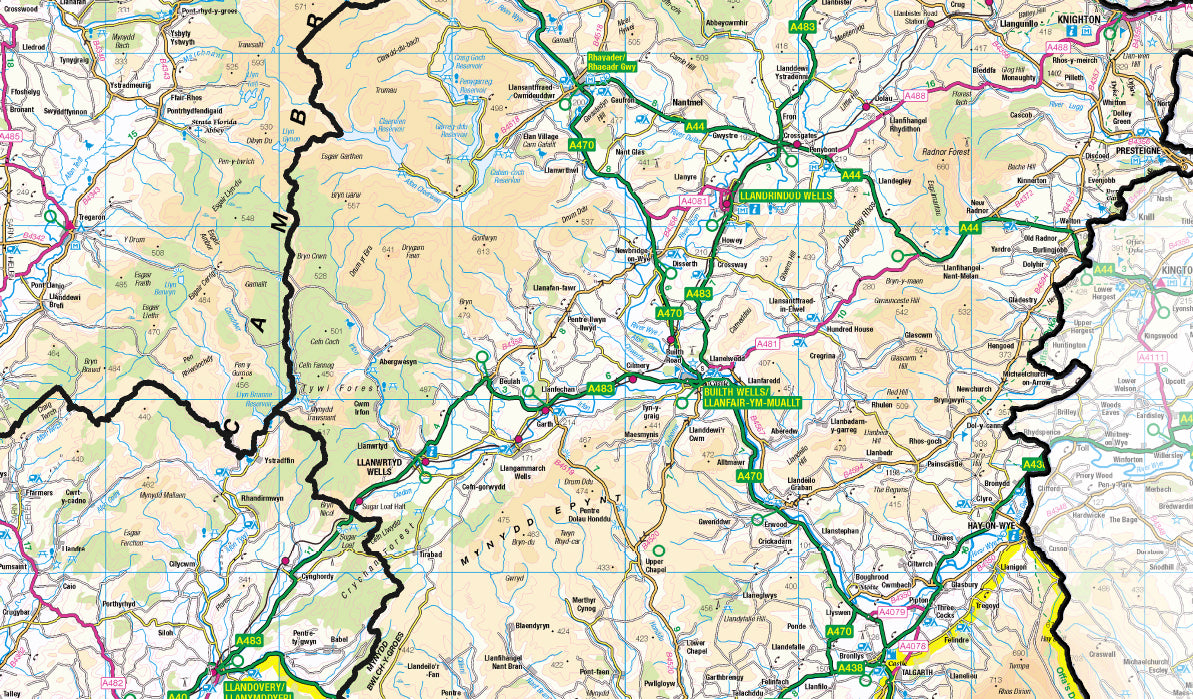
Created from the latest official Ordnance Survey and map information, you can be sure that this map is the most accurate and up-to-date county map of Wales available.
DURABLE
This county map can be laminated for extra protection and durability. Crease-proof and tear-proof, you may never need another map!
MAP DETAILS
-
Size: 90cm x 104cm
-
Scale: 1:250,000
-
Finish: All maps are printed on high quality paper with optional lamination to protect your map from creases, folds and tears.