0 Cart
Added to Cart
    You have items in your cart
    You have 1 item in your cart
    Total
    Check Out Continue Shopping

    News

    Ordnance Survey Points of Interest

    We are pleased to announce the addition of the Ordnance Survey Point of Interest database to our website. This database provides approximately 4,000,000 locations across Great Britain with a highly accurate Ordnance Survey grid reference including:
    1. Accommodation, eating and drinking
    2. Commercial services
    3. Attractions
    4. Sport and entertainment
    5. Education and health
    6. Public infrastructure
    7. Manufacturing and production
    8. Retail
    9. Transport

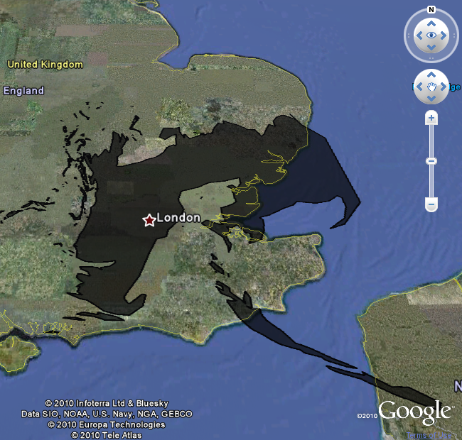
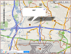
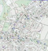
    The grid references for the majority of the file are accurate to premise level - that is the grid reference falls within the building footprint of the address making it, positionally, the most accurate Point of Interest database available.

    As you would expect, the full file of 4,000,000 records is not cheap at over £75,000 at the time of writing for a five user licence. However, with over 600 individual classifications, it is possible to select just those records you need for your application and just pay for the data you need.

    If you are interested in finding out more about the Point of Interest data then please visit http://www.map-logic.co.uk/digital-maps/points-of-interest-poi.html for more information.

    Read more

    Google Earth and BP Oil

    The BP Oil spill in the Gulf of Mexico has been grabbing headlines for a few weeks but if, like us, you find it difficult to picture how large the slick is then Paul Rademacher Engineering Manager for the Google Maps, has produced a tool for comparing the size of the slick to places you can relate to.

    The slick may not look too bad when viewed in te Gulf of Mexico but overlay the slick on London and you get an impression of how large an area it has actually covered.

    Lets hope the capping attempts work to prevent further spreading of the slick...

    You can view the Pauls site directly by going to: http://paulrademacher.com/oilspill/#

    Read more

    GB Postcode Boundaries on Google Maps

    Building on the changes to Ordnance Survey data licensing on the 1st April, we have taken the digital Postcode Area and District boundaries and added them to Google Maps on the website to provide an online reference tool for businesses and consumers.

    You can view a region of Great Britain, view the extent of Postcode Districts in the region and display the District name as required. With Google’s own search tool, you can navigate anywhere in Britain to view Postcode geography and view these boundaries in relation to Google’s street level or satellite maps.

    These maps provide popular simple viewing tools that many visitors to Map-Logic are searching for. Postcode boundaries form the framework by which many businesses plan mailing campaigns, sales territory structures or retail networks and are used to quickly locate customers. A quick and free reference tool such as this will help many businesses improve their strategic planning and operational efficiency.

    We are thinking of ways to improve the maps in future so if you have any ideas then drop us a line, we'd love to hear from you...


    Read more

    Updated Parliamentary Constituency Data

    The Postcode to Parliamentary Constituency datase which related over 1.6 million Postcodes across Great Britain to their respective Parliamentary Constituency has been updated today to reflect the latest changes in Parliamentary Constituency boundaries.

    The database allows you to search for any Postcode in Great Britain and determine the current Parliamentary Constituency it belongs to - along with it's grid reference, ward, region etc.

    The Postcode data is provided by Royal Mail and Ordnance Survey and the constituency data has been supplied by the Office For National Statistics. We have processed all the information to create the definitive look up just in time for the General Election!

    More information and purchasing options for the Postcode to Parliamentary Constituency data can be found at Map-Logic.

    Or for more information just contact us - and don't forget to vote!

    The Map-Logic Team


    Read more

    Postcode Boundary Data


    Following the release of several geographic databases (royalty free) by Ordnance Survey on the 1st April 2010, we have been reviewing the information to determine whether we can help turn this raw data into useful information for customers to use in GIS and mapping software.

    In addition to improving the grid references (and lowering the price!) of our Postcode grid reference file, we have also used the raw Code-Point grid reference data to build a set of Postcode polygons for Great Britain. These boundaries can be used in a variety of GIS and mapping software such as Mapinfo, Arcview, Maptitude and even Google Earth to view the extent of Postcode Sectors, Districts and Areas across the country.

    The polygons have been created using a variety of techniques based on Voronoi diagrams to create areas around every Postcode in the country which are then aggregated to created the boundaries for each level of Postcode geography. As we only use the Postcodes with the highest positional quality indicators from Ordnance Survey and also exclude PO Boxes, these boundaries are the most accurate boundaries that can be produced using this technique.

    At £300 for a single user and £600 for unlimited company use, we also believe these boundaries offer unbeatable value for money. You can download a specification and a sample of the boundaries directly from our website.

    If you download the sample to play with then we'd love to have your feedback...

    Read more